
Family Offices
Your property portfolio centrally in view — from a single building to the family estate, digitally available at any time.

We capture your project with 3D laser scanning and drone surveying. Orbit makes your as-built data usable in the browser — surveying and project management from a single source for the first time.
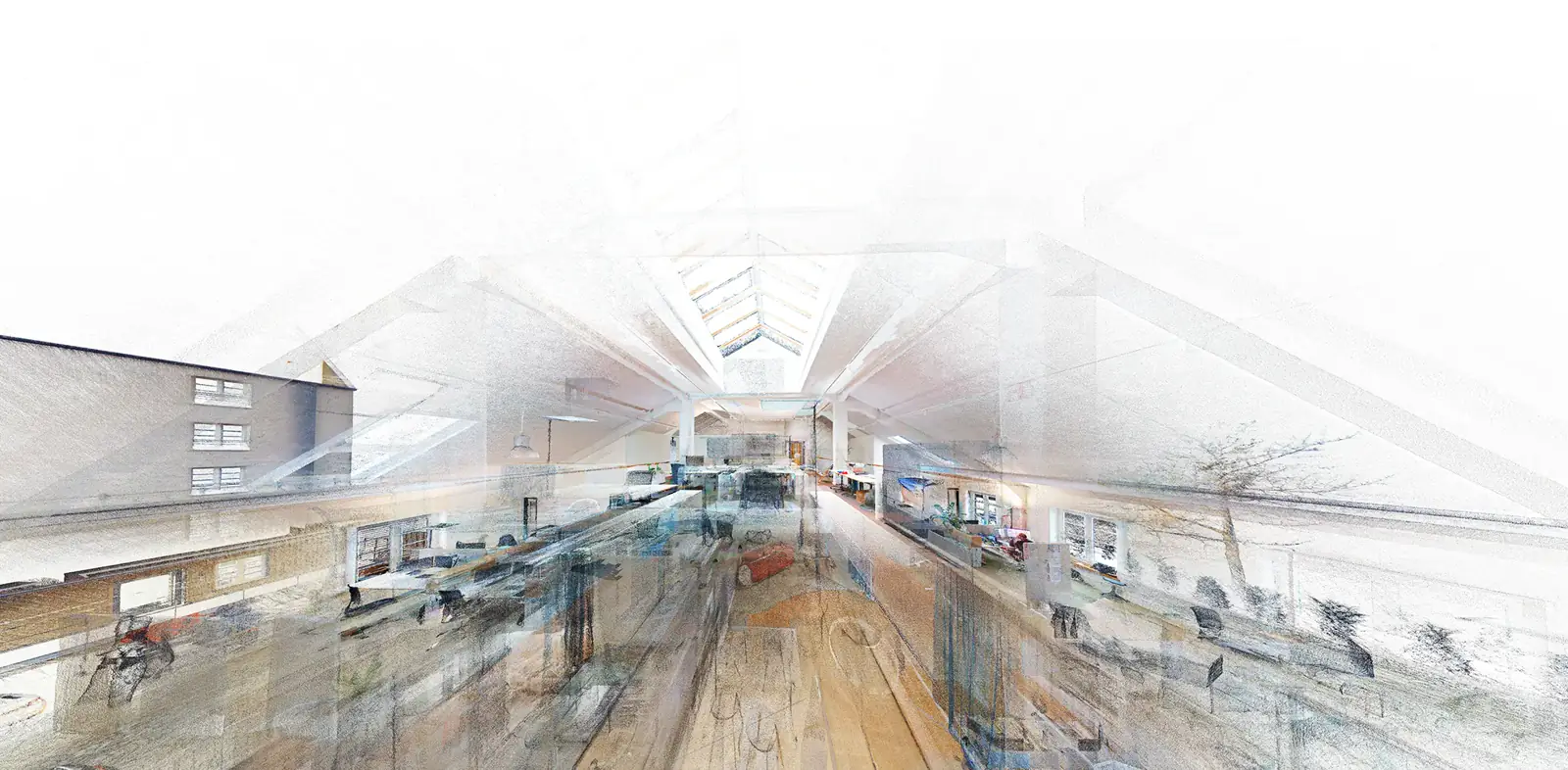
High-resolution point clouds from 3D laser scanning map your assets precisely. Measure distances, areas and volumes right in the browser — no specialist software, usable across projects.
Photorealistic 360° tours make any property, facility or construction site virtually walkable, linked with the point cloud and 3D model. Ideal for documentation, coordination and remote presentations.
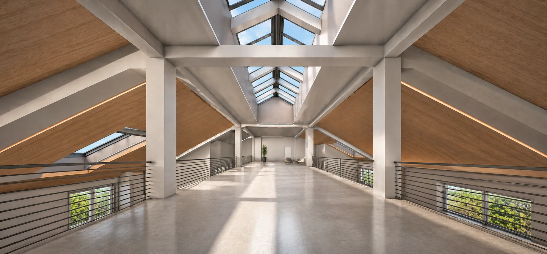
Specialists create structured as-built 3D models in CAD and BIM: precise, ready for handover and usable across projects. A reliable foundation for planning, conversion, value retention and operating your properties.
Digital replicas of properties, infrastructure and technical facilities — precisely captured, usable in the browser. Surveying and digital project management — everything from a single source for the first time.
Your property portfolio centrally in view — from a single building to the family estate, digitally available at any time.
Many locations documented consistently — comparable and centrally managed.
Factories, halls and technical facilities captured with millimeter accuracy and ready for analysis.
A reliable as-built basis for planning and conversion — all the way to Scan-to-BIM.
Public properties documented in a structured, GDPR-compliant way.
A solid data basis for conversion, value retention and energy-efficiency measures.

A complete as-built survey via 3D laser scanning — available in Orbit as point cloud, tour and model.
View project
Facades, rooms and installations documented in a structured way — usable across projects in the browser.
View project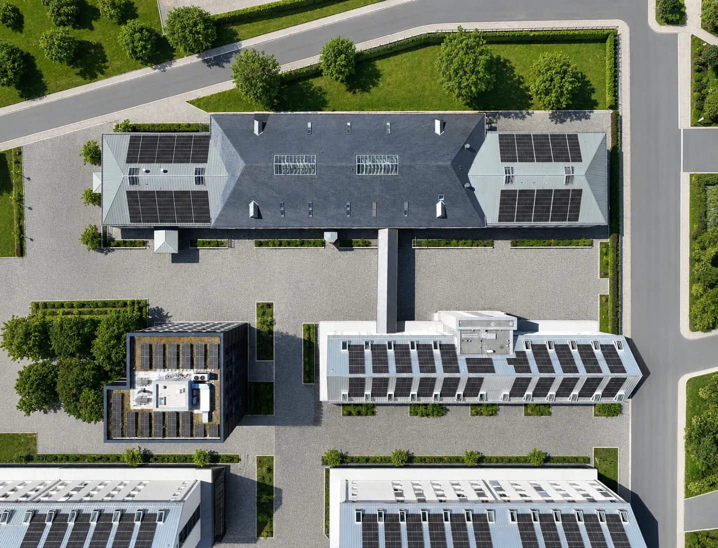
Drone surveying for terrain and infrastructure — a precise basis for planning and monitoring.
View project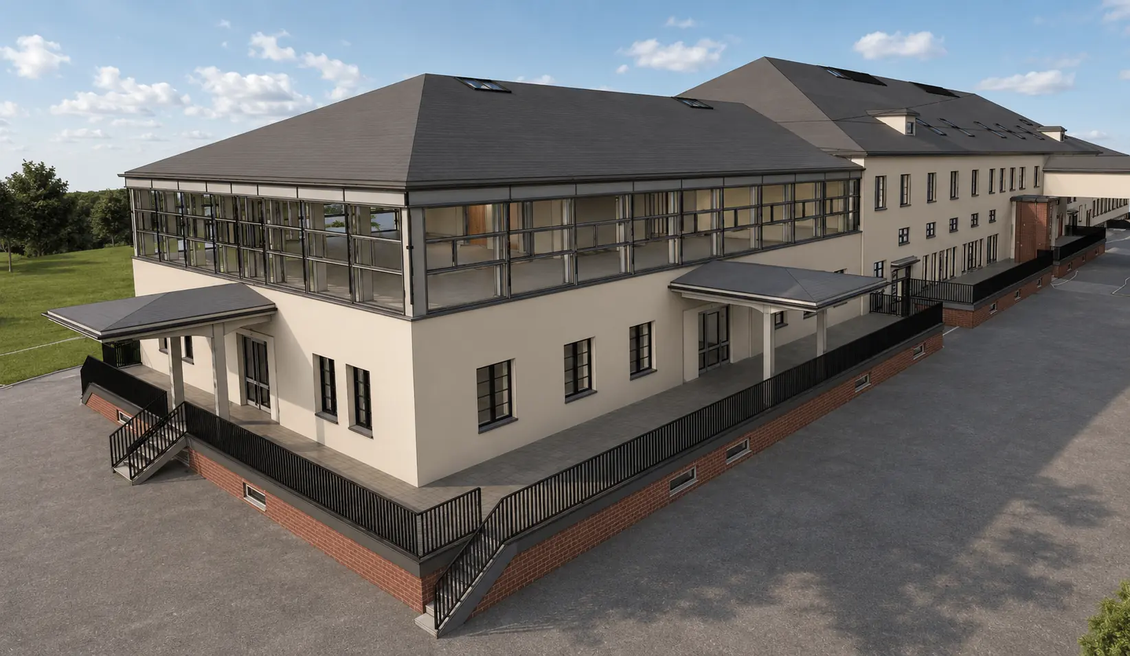
Handover-ready as-built 3D models as a basis for planning, conversion and operation.
View projectOrbit combines real survey data with digital project management. Point clouds, photo tours and 3D models become understandable and usable for everyone involved — from a single building to the entire property portfolio.
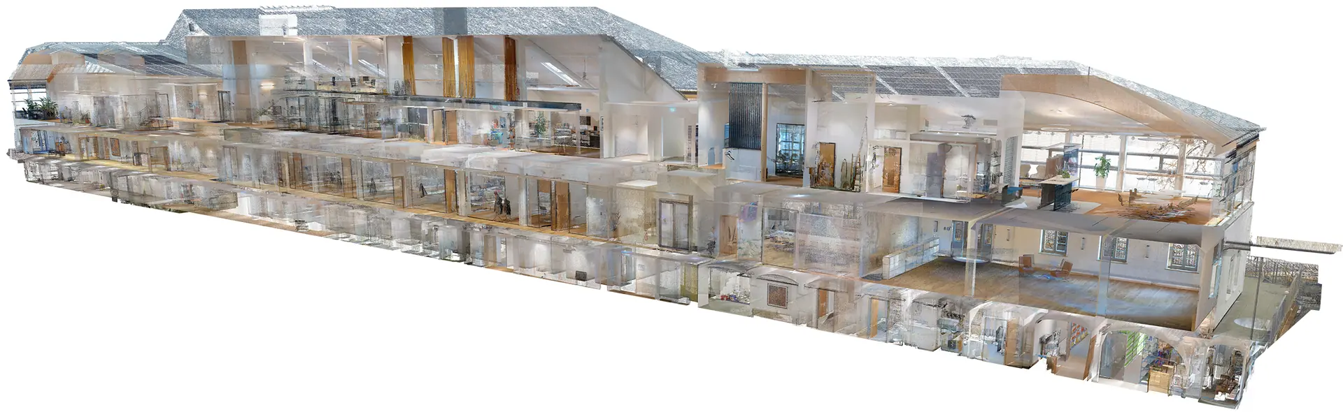
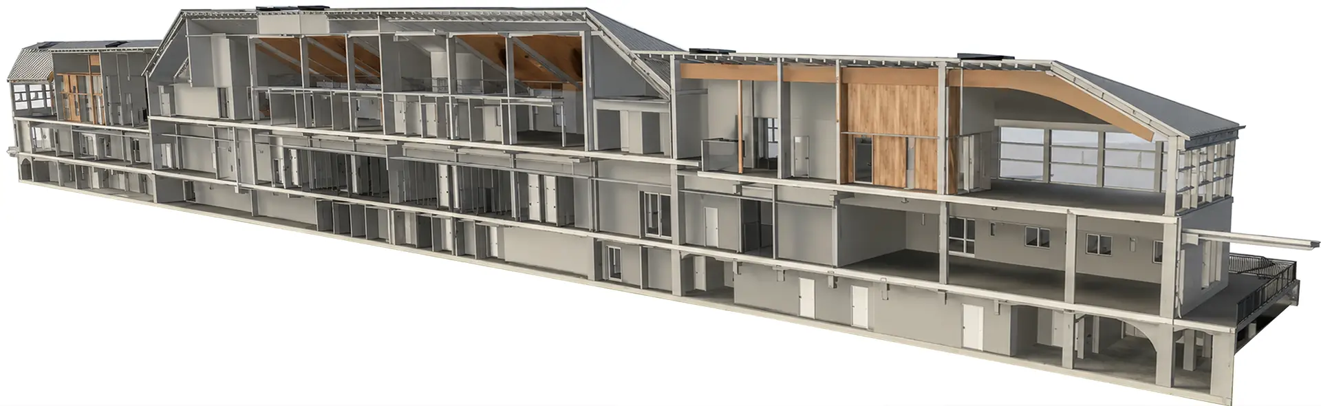
The result is digital project management built on precise survey data.
We capture buildings, terrain and infrastructure with millimeter accuracy.
The measurement data becomes point clouds and immersive photo tours.
Specialists create 3D models in professional CAD and BIM software.
Orbit brings all data together in the browser — interactive, measurable and centrally available.
Roles and permissions, multilingual support, security and a fair licensing model — the full depth of Orbit on a page of its own.
Personal, company and project documents with a ready-made folder structure from day one.
Everyone involved in the project, with clear roles and automatic visibility.
The entire portal bilingual — selectable per user, more languages to follow.
Two-factor login, fine-grained permissions and hosting in Germany.
All limits in view, extensions requested with a single click in the portal.
Orbit is developed in-house by buck Vermessung: the consistent evolution of modern surveying into central project management. We plan scope, data structure and delivery per project and calculate them individually.