Platform-independent access in the browser
Access your 360° photo tours right in the browser – without installation or special software. Projects stay available at any time, in the office, on site or in the home office.
360° panorama photos combined with precise survey data from buck Vermessung – interactive, structured and usable right in the browser.
A photo tour is an interactive 360° walkthrough that makes real buildings, facilities or construction sites digitally accessible. High-resolution panorama images are linked in a structured way so users can move intuitively through rooms and areas – right in the browser and without additional software.
At buck Vermessung, a photo tour is never created in isolation but on the basis of precise survey data. Combining 360° captures with 3D laser scanning produces dependable digital as-built documentation that connects visual impressions with measurable information.
In Orbit, this data is provided as an interactive, browser-based walkthrough. Projects can be viewed, analyzed and used for coordination or documentation purposes from anywhere – understandable for everyone involved.
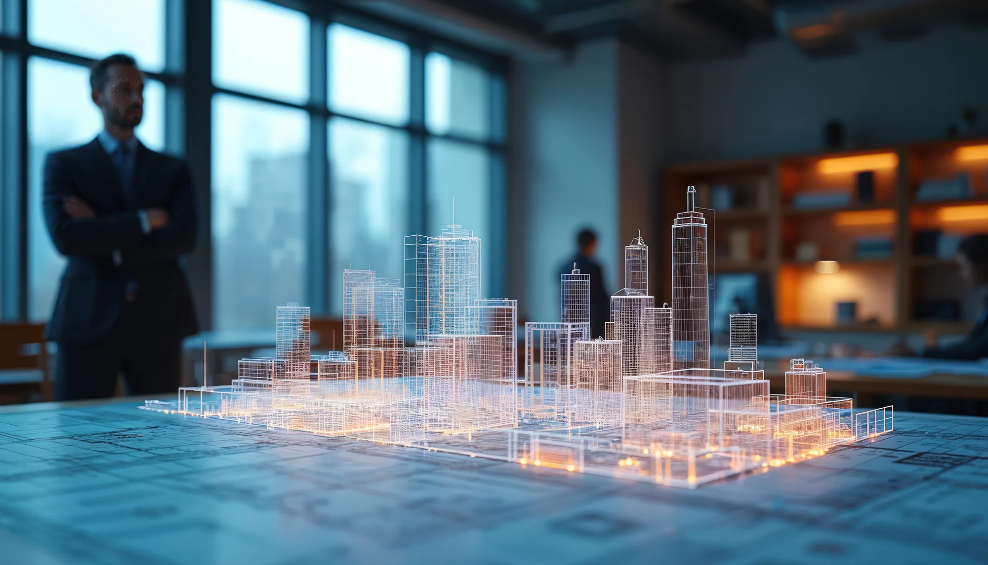
With our photo tour system you make survey and as-built data not just visible – you make it tangible. Combining 360° panorama photos with highly accurate 3D laser scanning data creates an interactive digital twin that is navigable right in the browser – without installation or additional specialist software.
A photo tour in Orbit is more than a visual walkthrough. Based on precise survey data from buck Vermessung, a structured 360° environment is created that can not only be viewed but also analyzed and documented.
The browser-based photo tour combines high-resolution panorama images with measurable information, creating a reliable basis for condition checks, project communication and construction progress monitoring.
Access your 360° photo tours right in the browser – without installation or special software. Projects stay available at any time, in the office, on site or in the home office.
Determine distances and areas directly in the 360° walkthrough. Ideal for condition checks, documentation, quantity takeoff or coordination with planners and clients.
The 360° tours are already structured by floors and defined project areas. You keep your orientation at all times, even in complex buildings or sites – for clear navigation, quick analysis and efficient coordination.
Roles and permissions let you define who may see which tours. Sign-in is password-protected and, if desired, additionally secured with two-factor authentication. Sensitive survey and as-built data stays protected.
Attach texts, images or videos directly in the photo tour and create clearly structured information points. Relevant details are presented understandably in their spatial context.
Orbit bundles all captured survey data in one central project environment.
High-resolution point clouds for analyzing as-built data in the browser.
View Point cloudsStructured 3D models, clearly presented and centrally available in the browser.
View 3D modelsInteractive 360° photo tours enable visual, structured and centrally available project documentation. buck Vermessung captures your project precisely and provides it in Orbit as an interactive 360° photo tour – understandable for everyone involved.